 ScrollBeat

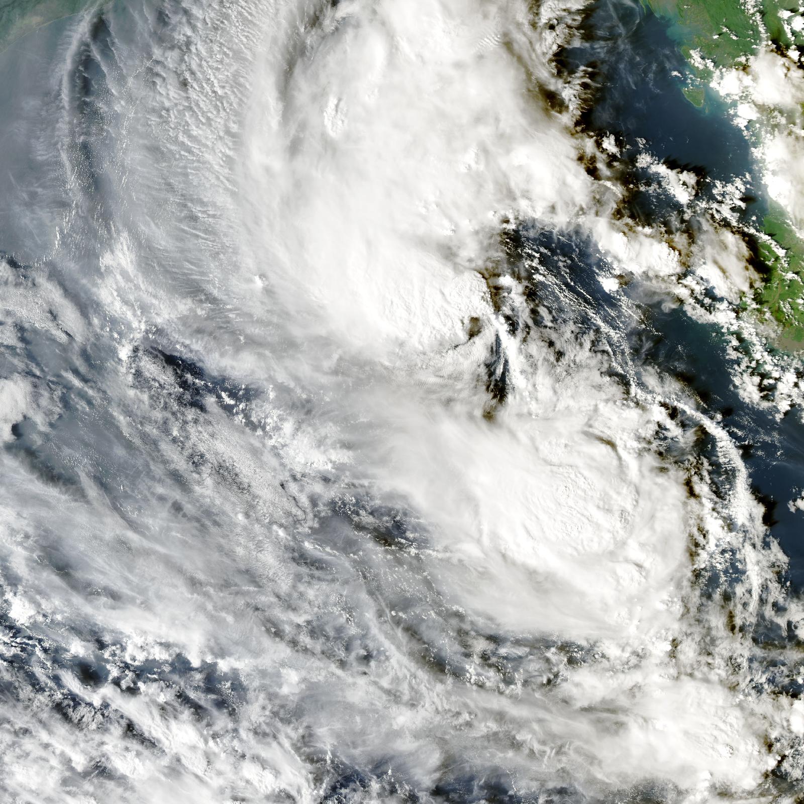
A deep depression over the east-central Bay of Bengal and the adjoining south-east Bay is forecast to strengthen into a cyclonic storm on Monday and later into a very severe cyclone as it curves towards India's east coast, Bangladesh's weather office says.
At noon on Sunday, the system was centred near 15.0 degrees north and 90.8 degrees east, about 810 kilometres south of Chattogram port, 730 kilometres south of Cox's Bazar, 840 kilometres south of Mongla and 780 kilometres south of Payra, according to a special bulletin from the Bangladesh Meteorological Department. It was producing maximum sustained winds of about 50 kilometres per hour within 48 kilometres of its centre, with gusts of up to 60 kilometres per hour.
The depression was moving south-west and was expected to keep doing so before gradually turning west-north-west, the bulletin said. Bangladeshi forecasters expect it to cross the Andhra Pradesh coast on Wednesday as a very severe cyclonic storm, Bangla Tribune reported, citing the weather office. The projected track takes the storm towards India, away from Bangladesh's coastline.
Bangladesh is still feeling the system's edges. The meteorological department has kept local cautionary signal No. 1 hoisted at the maritime ports of Chattogram, Cox's Bazar, Mongla and Payra. It advised all fishing boats and trawlers working in the North Bay to move closer to the coast and proceed with caution until further notice. The sea will remain rough near the centre of the system.
For Monday, the weather office forecast rain or thunder showers with gusty winds at some places in Chattogram division and at a few places in Khulna and Barishal divisions. Other parts of the country can expect a partly cloudy sky and mainly dry weather. Day and night temperatures are likely to stay nearly unchanged.
Once the system reaches cyclone strength it will be named Arnab, a name proposed by Bangladesh that means ocean or sea, Indian forecasters said. Cyclone names in the region come from a list agreed by 13 countries, and each country contributes names in turn.
October falls in the post-monsoon cyclone season, when the Bay of Bengal's warm surface waters can feed rapidly intensifying storms. The bay has produced some of the world's deadliest cyclones, and Bangladesh's early-warning system, cyclone shelters and volunteer networks are widely credited with sharply reducing deaths in recent decades compared with the disasters of the 1970s and 1990s.
Several things remain uncertain. Forecasters have not fixed the exact point or intensity of landfall, and tropical systems can strengthen faster or slower than projected. It is also unclear how much rain the outer bands will bring to south-eastern Bangladesh, or whether the meteorological department will raise the warning signal at the ports.
No evacuation order has been issued for Bangladesh's coast, and no signal higher than No. 1 is in force at the four maritime ports. Fishing crews have been told to stay close to shore, and ships in the northern Bay have been asked to watch for squalls.
Further bulletins are expected as the system develops. The key dates are Monday, when it is forecast to become a cyclonic storm, and Wednesday, when it is expected to approach the Indian coast. Readers in Chattogram, Khulna and Barishal should follow the weather office's updates rather than social-media forecasts, and coastal residents should be ready to act if the signal is raised.
For now, the direct threat to Bangladesh is limited. The main effects are rough seas in the northern Bay, gusty rain in three divisions and uncertainty over a storm that is still more than 700 kilometres from the coast.