 ScrollBeat

A magnitude 7.0 earthquake struck Baqen County in Nagqu, in northern Tibet, at 10:33pm local time on Thursday (14:33 GMT), the China Earthquake Networks Centre (CENC) said. The agency put the epicentre at 32.40 degrees north and 93.79 degrees east, at a depth of 10km.
The United States Geological Survey recorded the same magnitude but placed the depth at 18km and the epicentre about 191km east-northeast of Nagqu city. Such differences between agencies are common in the first hours after a large earthquake, before readings are reviewed.
At least two people were injured in a village near the epicentre, and houses in the villages closest to it showed cracks, Chinese state broadcaster CCTV reported. The full extent of the damage was not immediately known, and no death toll had been announced.
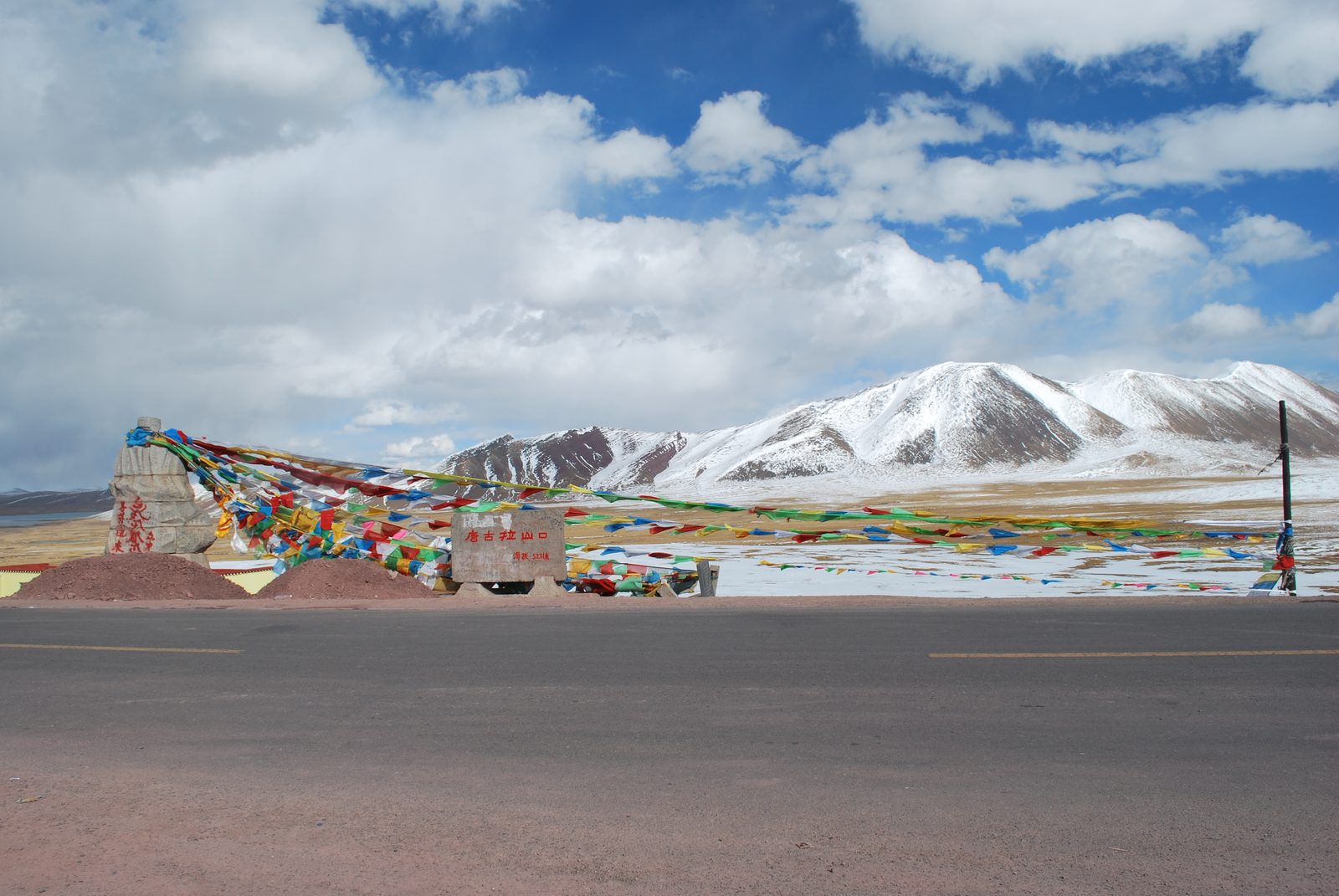
The area is sparsely populated and very high. CENC data put the average elevation within 5km of the epicentre at about 4,864 metres, or 15,960 feet. The epicentre was roughly 400km from Lhasa, the regional capital.
Videos released by local state media showed residents leaving their homes and taking shelter outside or in cars parked in the street. One resident said he was woken by the shaking and heard his house creaking. CENC said the quake was clearly felt in the surrounding area.
Local fire and rescue teams were mobilised and were heading towards the affected region, state media said. Several smaller tremors of about magnitude 3 to 4 were recorded in nearby areas after the main quake, according to CENC data.
Reuters described the earthquake as the strongest to hit China since January 2024.
The Tibetan Plateau lies where the Indian and Eurasian tectonic plates collide, a collision that continues to lift the Himalayas and makes the region prone to powerful earthquakes. In 2010, a magnitude 7.1 tremor struck Yushu, about 280km away in neighbouring Qinghai province, killing at least 2,698 people and leaving nearly 300 missing. The toll in that disaster reflected how and where people lived as much as the size of the quake.
Northern Tibet's villages are scattered across grazing land, which can limit the number of people exposed to a single collapse. But the same conditions make rescue harder: the altitude is punishing for teams arriving from lower ground, night-time temperatures fall well below freezing, and settlements nearest the epicentre are hours from major towns.
Much remains unclear. Officials have not said how many people were hurt across the county, whether roads, power lines or communications were cut, or whether public buildings such as schools and clinics were damaged. It is also not known how many strong aftershocks are likely, or whether any occurred in areas that lost contact after the main shock.
Chinese authorities are expected to send survey teams through the affected townships overnight and to publish updated figures as reports arrive. Tibet is a region with tightly restricted access for foreign journalists, so official Chinese statements are likely to remain the main source of information, and independent confirmation of the damage may take time.
The quake was far from Bangladesh and there was no indication that it affected the country. Bangladesh sits on the edge of the wider collision zone and has its own long-standing seismic concerns, but Thursday's epicentre was deep inside the Tibetan plateau.